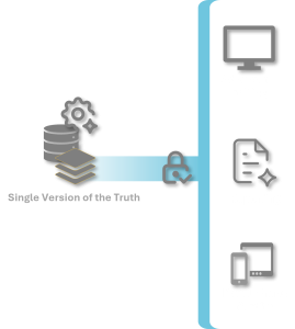
Technology can be complicated, particularly when the number of system parts increase due to growth or changing information demands.
We specialize in the tech so you don’t have to. We’ll put complicated in the background and simple tools in the hands of those doing land management.
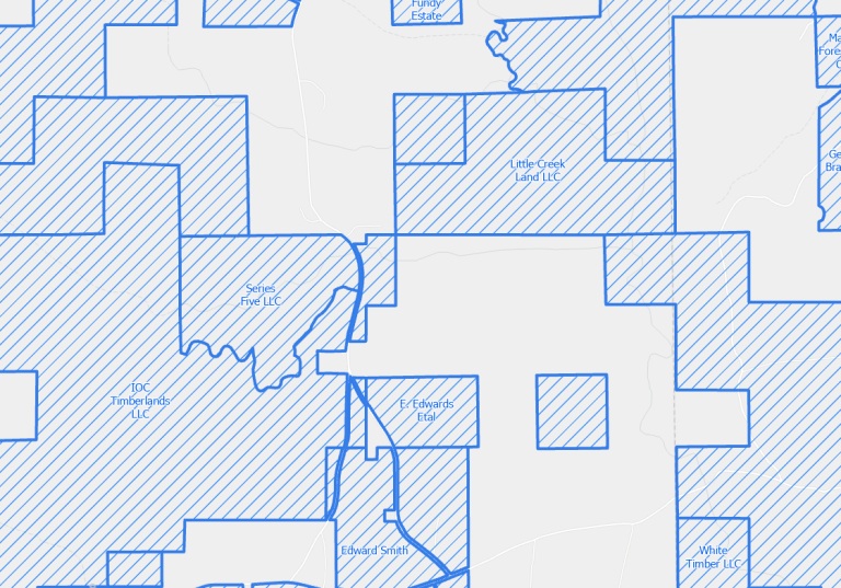
Is your information technology (IT) staff struggling to help you with GIS when GIS isn’t their thing? Are GIS and inventory staff working around – or with – IT?