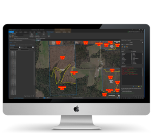
When you’re juggling multiple timber sales, contractors and employees, time is at a premium. Real time, up to date imagery provides actionable information on operations so that work doesn’t slip between the cracks.
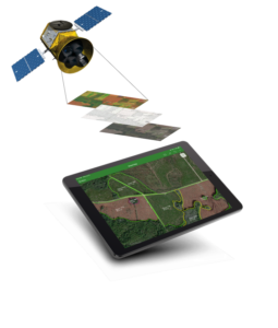
Acquiring a recent aerial image for a tract can be time consuming. Drones take too much time, tasking a fixed wing aircraft is cost prohibitive and free imagery is typically out of date. Traditionally working with imagery means handling gigabyte files and even processing. With the commercialization of earth monitoring has come new, time and money saving options for imagery.
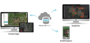
Planet is a relatively new product with tons of amazing features and product options. Would your rather figure it out on your own, or work with a partner who knows how to apply Planet tools to your business?
Redefining Forest Technology is more than talk, it’s about rethinking forest technology from the ground up. To compete in the digital age – where information needs to be available wherever work is being done – requires new approaches.