Red Cockaded Woodpecker Forage Factor

Habitat recovery planning is an intricate process requiring field data collection and collaborations between foresters and biologists.   Quantify habitat quality using a data driven process which is defensible, repeatable and automated. 

Red-cockaded woodpecker (Picoides borealis) is a federally listed threatened species endemic to open, mature and old growth pine ecosystems in the southeastern United States (RCW Recovery Plan, 2nd Edition, US FWS).  Both private and public organizations put significant resources into both managing existing RCW habitat or expanding populations, both of which involve forest management and specific silvicultural treatments.

The following sections provide more information on how our Forage Factor analytics toolset supports organizations in their work with RCWs by significantly improving the repeatability of analysis and saving labor time across all aspects of habitat data collection, reporting and analytics.
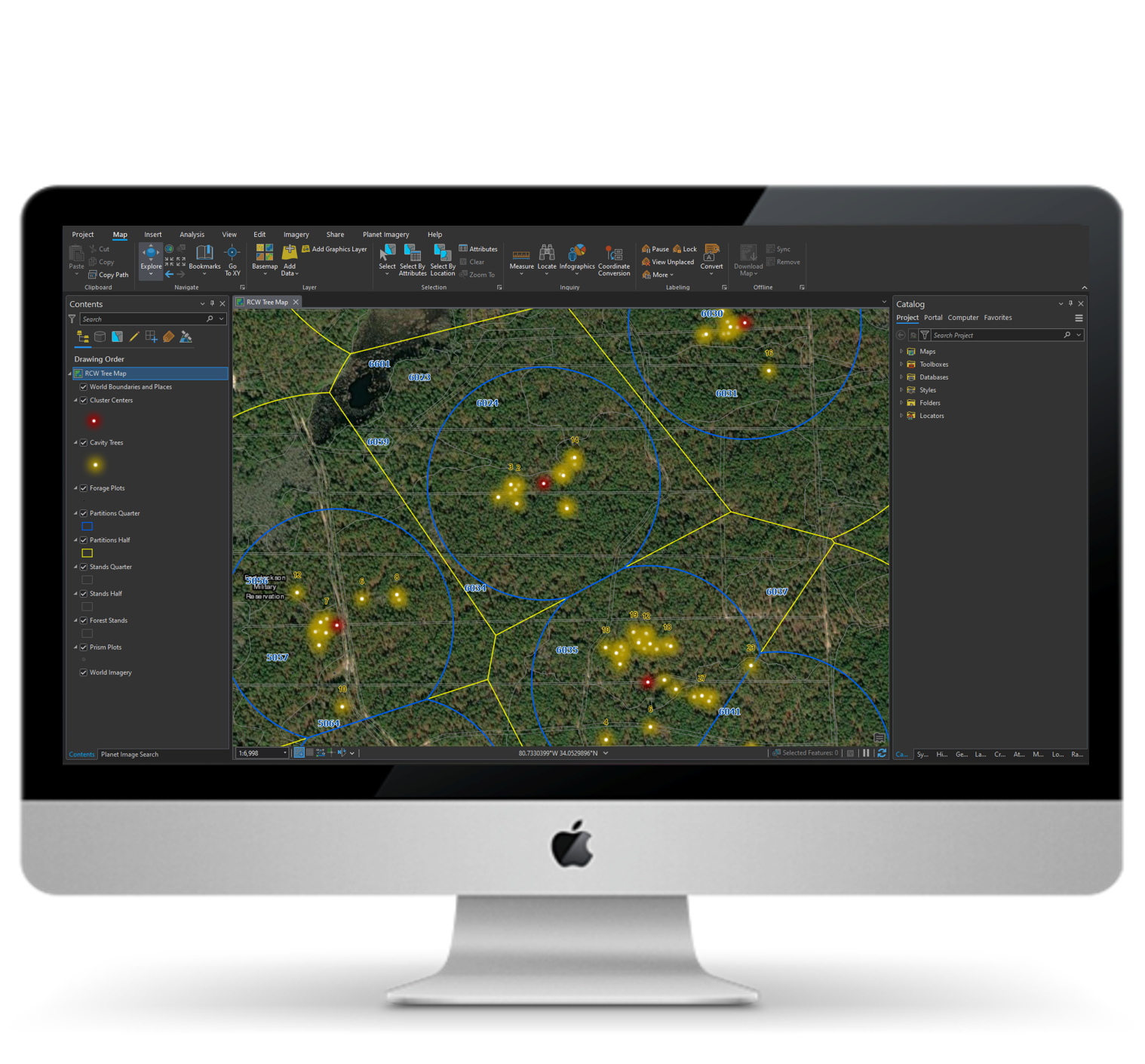
  • Technology has advanced dramatically over the past 20 years. However, many of the tools used in natural resources have not evolved to meet the needs of the modern workplace.
  • Forest inventory is not easily shared with biologists and habitat analysis is out of date as soon as inventory is updated.
  • Field data can take numerous steps to be made useful.
  • Biologists are often working with copies of forest inventory rather than the latest version.
  • File based data on a single PC makes sharing results with other stakeholders difficult.
  • Software like the RCW Matrix is not supported, is difficult to use and may not operate in modern computing environments.
  • Present methods cost time, make it challenging to produce consistent results and to promote an up to date view of habitat efforts.

Forest Certification

Teams charged with RCW management have the opportunity to improve outcomes through more predictable and reliable digital processes. Our strategy provides a real time view of program key performance measures from cavity tree status to analytical reporting.

  • A Single Version of the Truth for RCW habitat and recovery eliminates conflicting ‘versions’ of program information.
  • End to end automation of workflows without files – habitat suitability is reported in minutes after cavity trees or forest inventory changes.
  • Single entry point of data entry eliminates data handling in multiple software and files.
  • A real time view of all program metrics from basal area, habitat suitability, mid story composition, forage acres and recommendations such as burns or mid-story removal.
  • Anyone can make updates to cavity trees on a single data source from any device for a real time view of program performance.
  • All maps, data and analysis can be viewed on any device from anywhere work is being done.
  • Spatially based across all components and data to include cavities, forest inventory, partitions and existing management units.

In the modern workplace, information must be easy to find and use while being secure.  As an Esri Business Partner working with numerous large agencies, we provide tools which meet IT standards and for years of trouble free operation. 
Forage Factor is:

  • Built on Esri’s ArcGIS which is approved and already in use in most agencies.
  • Minimal to no software installs required, just ArcGIS and Microsoft office.
  • Supports large inventory programs with regularly updated data to feed RCW analytics.